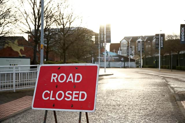
Sunderland’s Festival Of Light: Full list of road closures for October and November

and live on Freeview channel 276
Sunderland’s Festival of Light has returned to Roker Park this year and with plenty of crowds expected, roads and pavements will be busy in the surrounding areas.
Tickets for the event are now on sale and the full list of road closures throughout the area for the duration of the event has been announced.
Advertisement
Hide AdAdvertisement
Hide AdThese closures will only impact visitors. Local residents can still enter their streets with a council-supplied permit.

When is Sunderland’s Festival of Light?
The the Festival of Light opened on Thursday, October 13 and it will run every Thursday, Friday, Saturday and Sunday until Saturday, November 12.
The site will be open from 4pm until 9pm each day, with the exception of two weekends when access will be available between 5pm and 9pm. These are on Friday, October 14 to Sunday, October 16 and Friday, October 21 until Sunday, October 23.
The festival site will also be open every day throughout the Autumn half term.
Advertisement
Hide AdAdvertisement
Hide AdWhich Roker roads will be closed for Sunderland’s Festival of Light?
A large section of Roker will be closed between Wednesday, October 12 and Saturday, November 12 on days the public can access the festival.
This is at its most southern on the junction of Roker Avenue and Ripon Street and reaches Chichester Road next to Seaburn Park at its most northern point.
The perimeter of the closed area also includes Whitburn Road from the Pier View Roundabout to Chichester Road on the coastal side and Mere Knolls Road East View and Ripon Street which will both remain open as well as Kelvin Grove which will be closed.
Advertisement
Hide AdAdvertisement
Hide AdVehicle permits are issued to all residents and additional permits can be requested from Sunderland City Council.
The full list of closed roads is as follows:
Ashdale Court
Appley Terrace
Bede Street
Benedict Road
Brandling Street
Calderbourne Avenue
Cardwell Street - from Ripon Street to its eastern point
Claremont Avenue
Cliffe Court
Clifton Road
Cliftonbourne Avenue
Clockstand Close
Cooper Street
Cressbourne Avenue
David Gardens
Dinsdale Road
Featherstone Street
Gillside Grove
Givens Street
Glen Thorpe Avenue
Glenthorne Road
Grantham Road
Hartington Street
Horatio Street
Kelvin Grove
Lonsdale Road
Malvern Gardens
Mansfield Crescent
Marine Walk – from the Marine Walk Car Park Access to its northern point
Melrose Gardens
Melvyn Gardens
Mere Knolls Road - from Side Cliff Road to its southern point
Merryfield Gardens
Midfield Drive
Moine Gardens
North Grove
Park Avenue
Park Gate
Park Lea Road
Park Parade
Peareth Grove
Peareth Road
Roker Avenue North Back – from Ripon Street to its north eastern point
Promotion Close
Rock Lodge Gardens
Rock Lodge Road
Advertisement
Hide AdAdvertisement
Hide AdRoker Baths Road - from Ashdale Court to its north eastern point
Roker Park Close
Roker Park Road – as well as Roker Park Road East Back and West Back from St George’s Terrace to its northern point
Saint Andrews Terrace
Saint Georges Terrace
Sea View Gardens - from Mere Knolls Road to its eastern point and its North Back
Selbourne Street - from Ripon Street to its eastern point
Stanhope Road
Talbot Road
Turnstile Mews
Westcliffe Road
Side Cliff Road will be closed from 2pm – 9:30pm on festival days.